Écrins Haute Route, France
GPS TracksAltitude Profiles
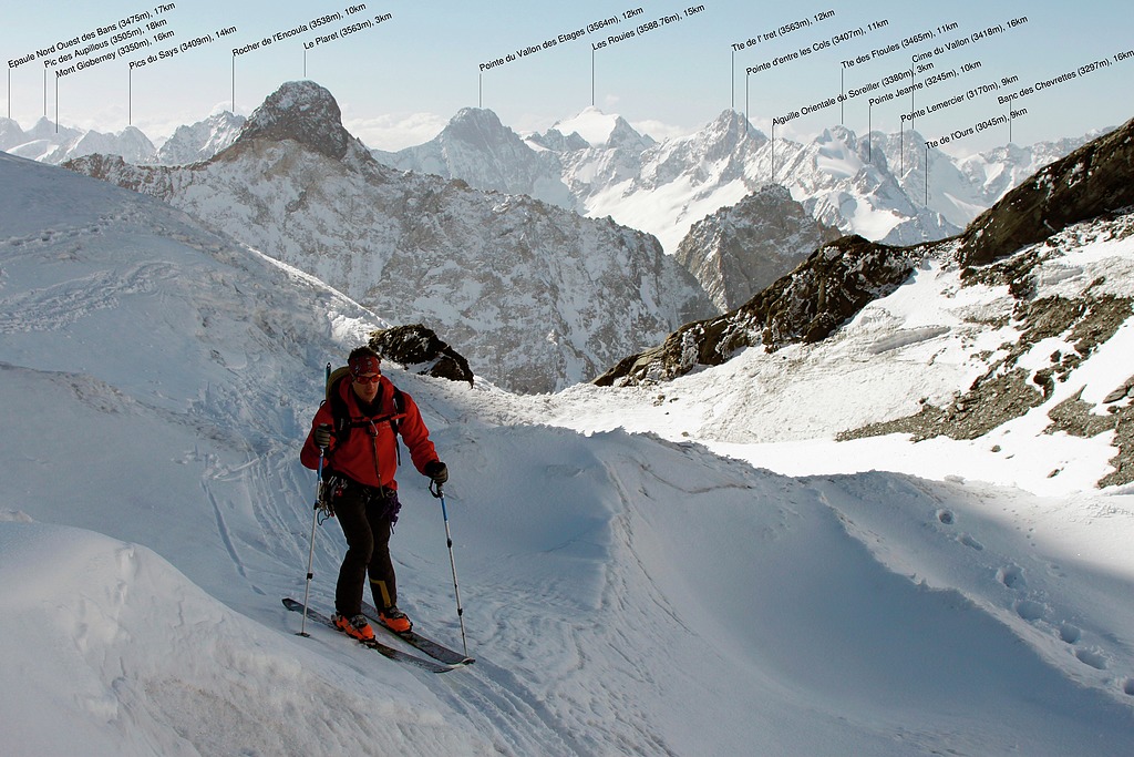
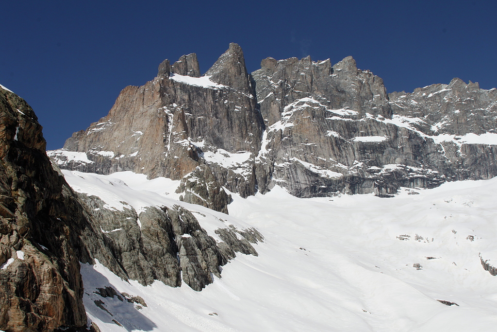
At the start of Écrins Haute Route: looking south over the rocky Massif du Sorreiller.
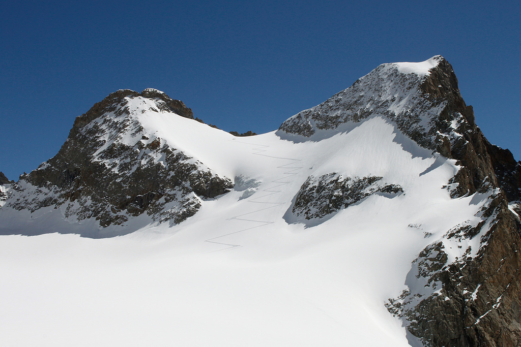
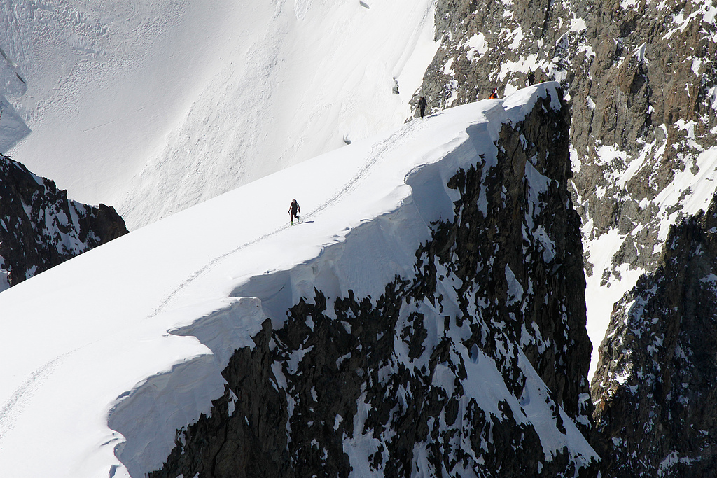
A way to Col du Replat (3335m), where you can start the descent to the Châtelleret hut.
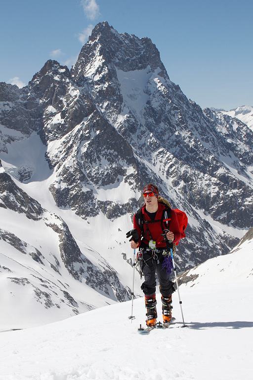
Above the Selle hut, the rocky needle Aiguille du Plat de la Selle (3596m) dominates the background.
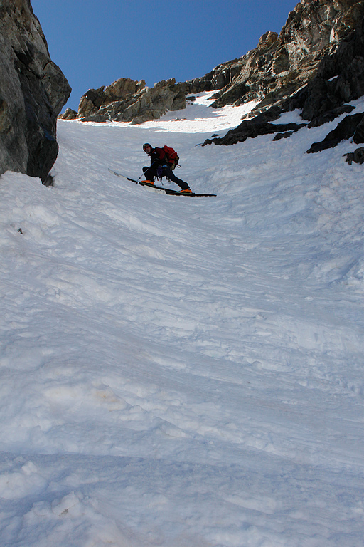
Descending from Brèche du Râteau (3235m) into the Châtelleret valley.
The south face of La Meije (3983m).
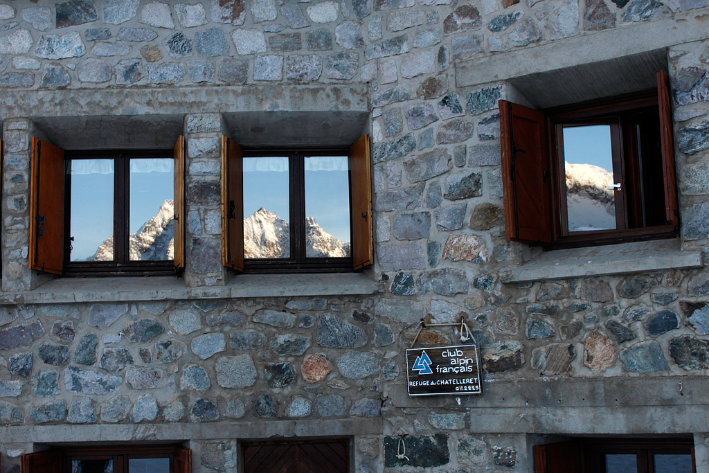
Freezing morning by the Châtelleret hut. The first sunrays just landed on Aiguille de la Bérarde and Cime de l'Encoula.
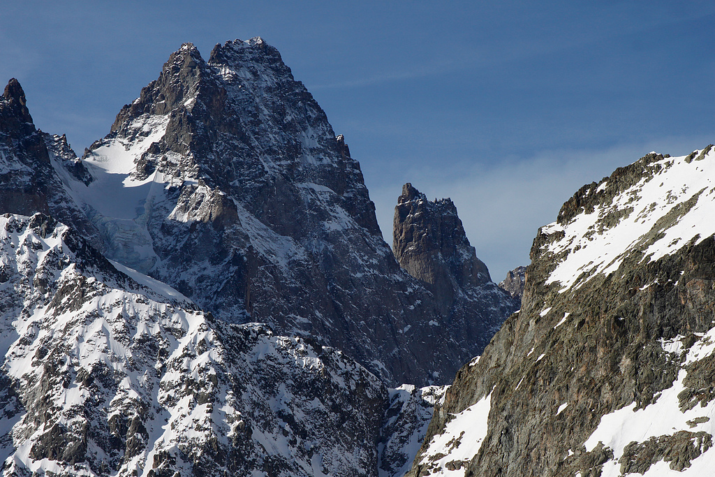
Pic Sans Nom (3913m) and couloir Le Coup de Sabre.
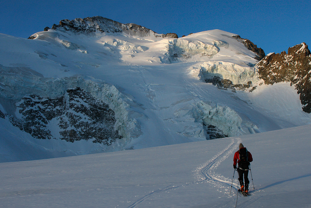
Morning below the north face of Barre des Écrins.
Ascending Roche Faurio (3730m).
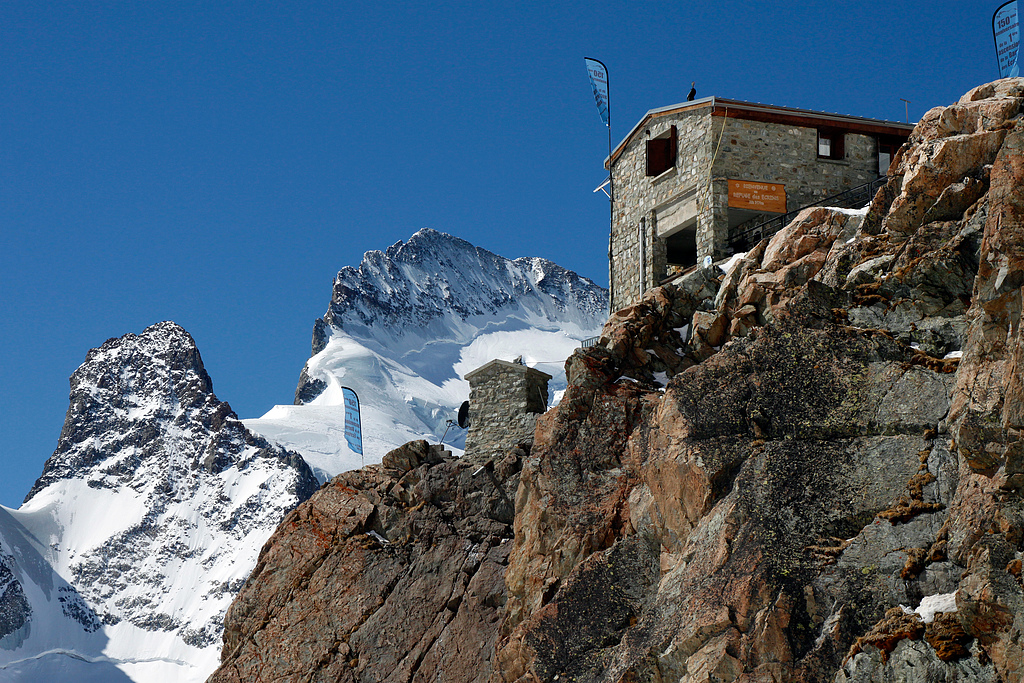
Écrins hut offers unforgettable views on Glacier Blanc and rocky ridge of Barres.
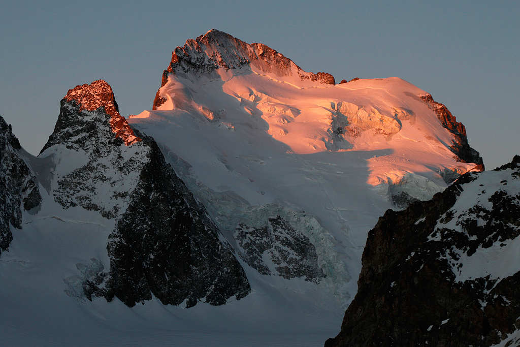
Barre des Écrins (4102m) and Dôme de Neige des Écrins (4015m), the southernmost 4000s of the Alps.
View from the saddle Col Émile Pic (3483m). On the horizon, one can see 60km distant Cottian Alps.