Skitouring Mont Blanc 2013, France
More pohotosAltitude Profiles
Route description (in Czech)
GPS track (GPX)
Interactive panorama from the summit of Mont Blanc (4810m), France. (coming soon)
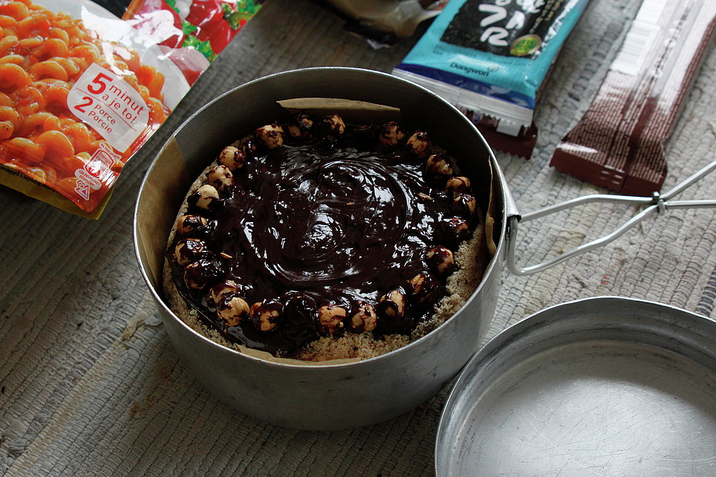
An energetic cake packed for the trip.
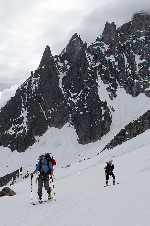
From Plan de l'Aiguille bellow the north face of Aiguille du Midi.
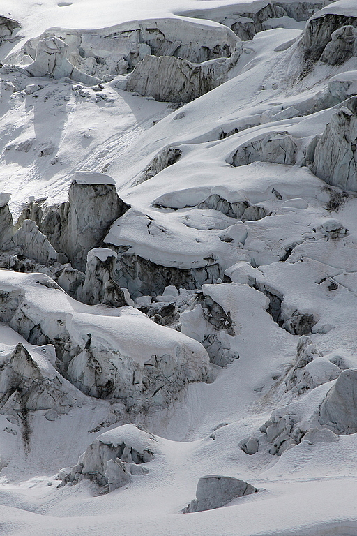
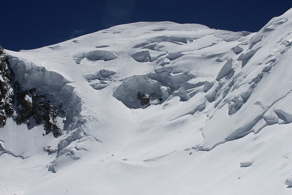
Bossons Glacier, watch out for creveases when traversing.
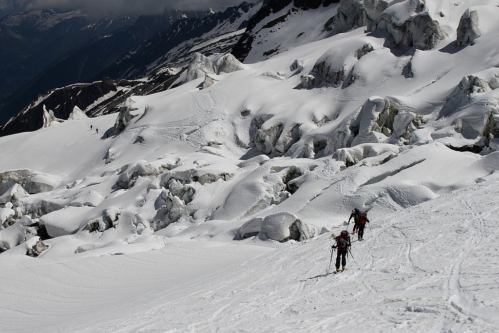
Slopes below Grands Mulets hut.
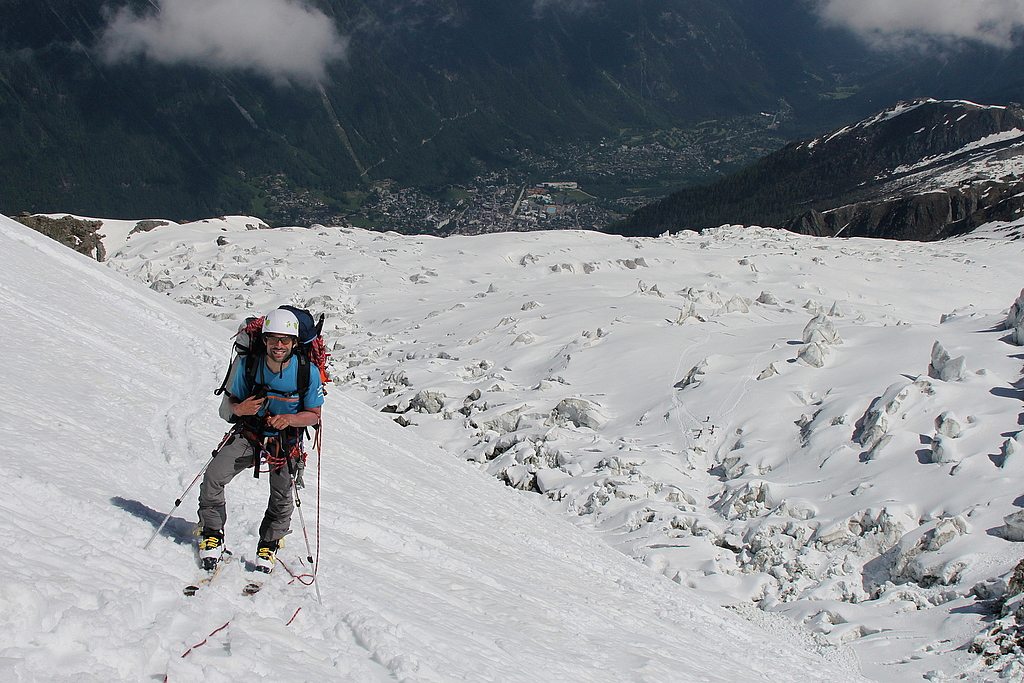
Beautiful views all the way down to Chamonix.
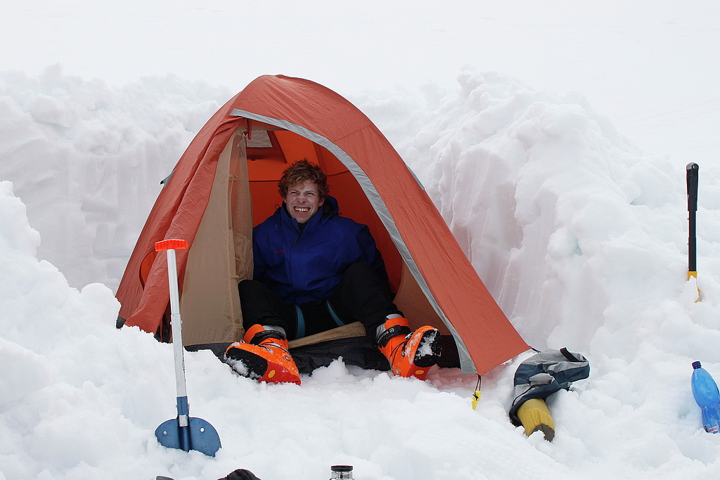
Comfy and calm bivi at the glacier.
Summit day, sunrise.
Views from Dome du Gouter.
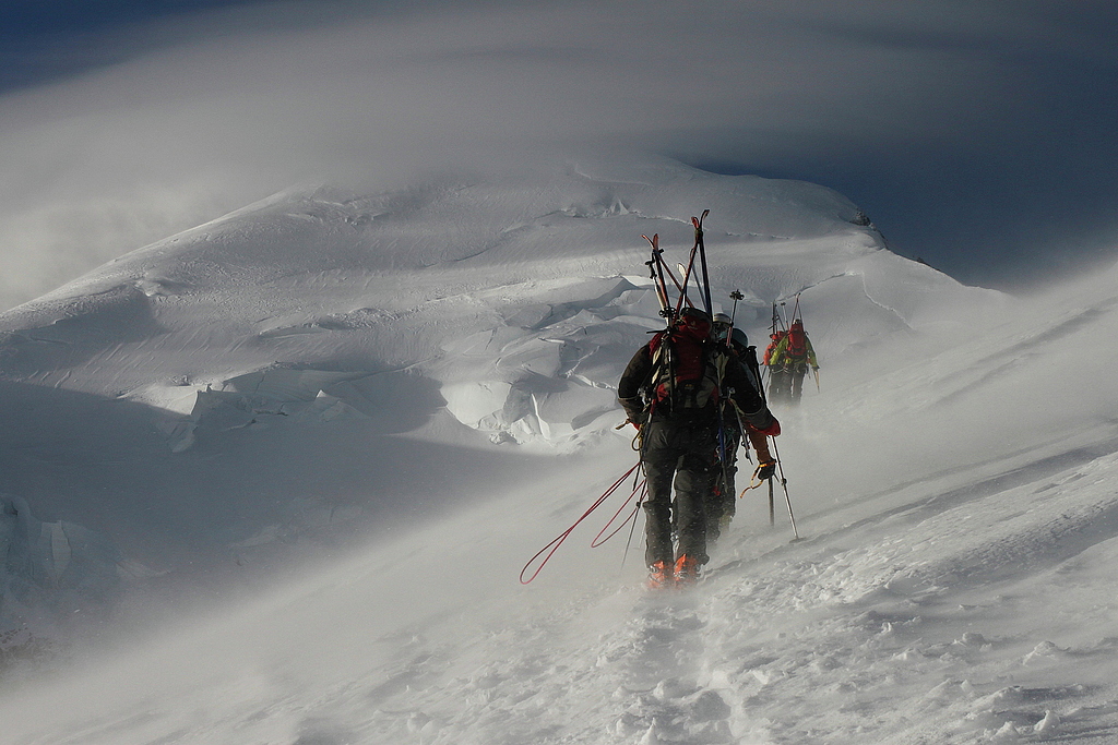
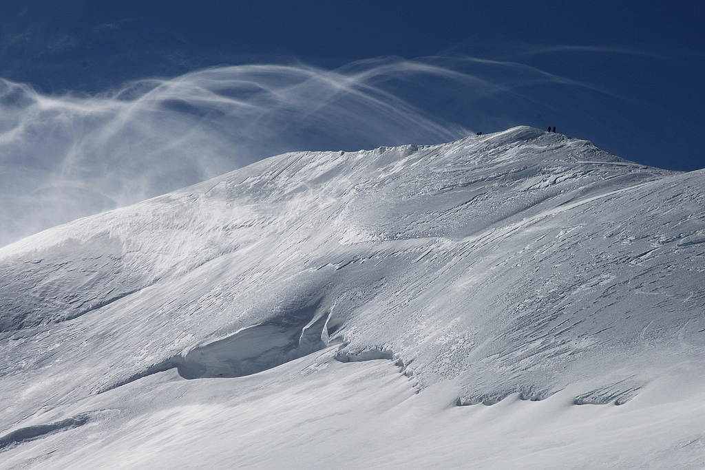
Windy ascent.
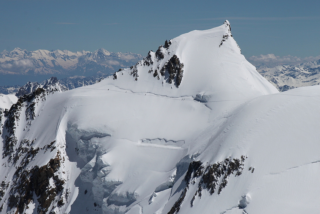
Mont Blanc - les Bosses ridge.
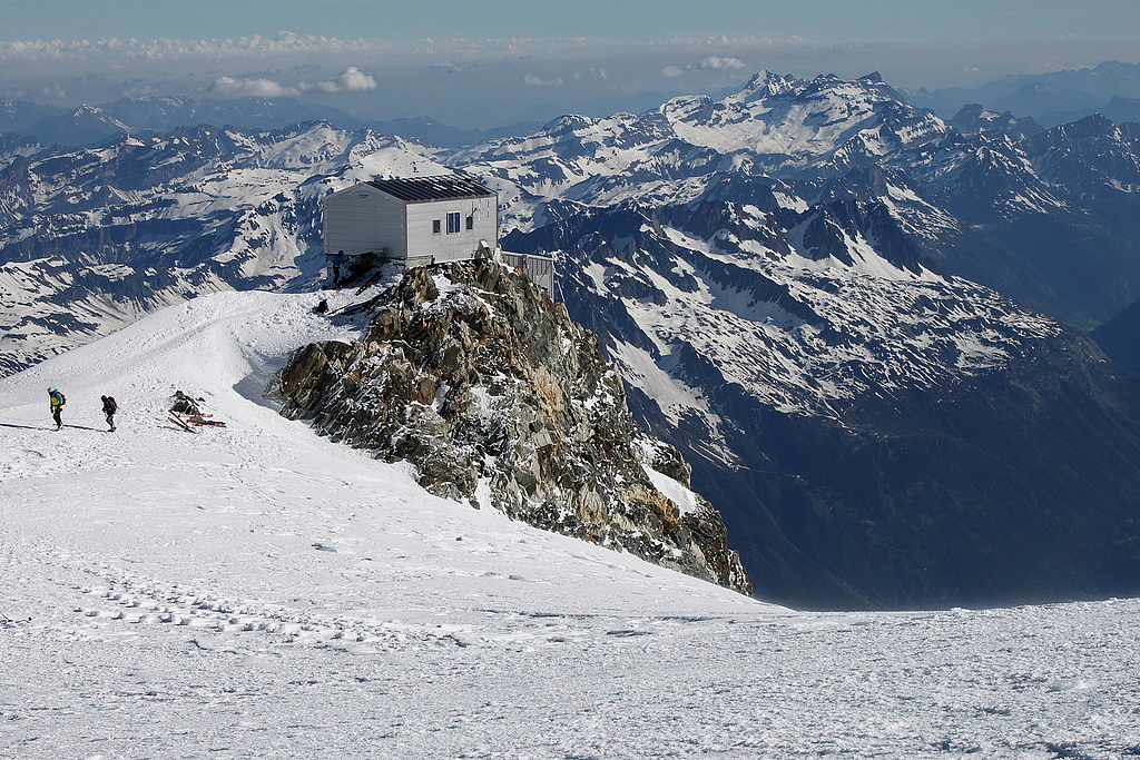
Aiguille du Midi and granite friends.
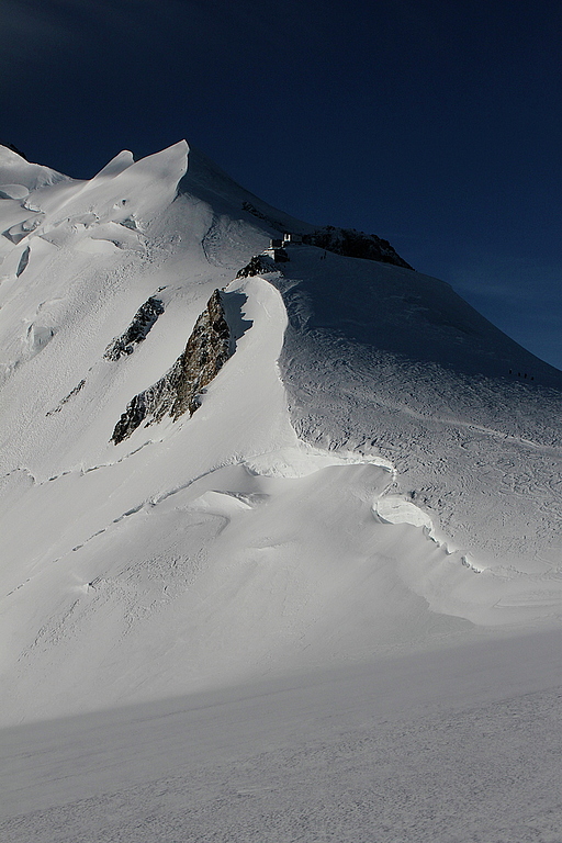
Above Ref. Vallot (4362).
Summit of Mont Blanc (4810).
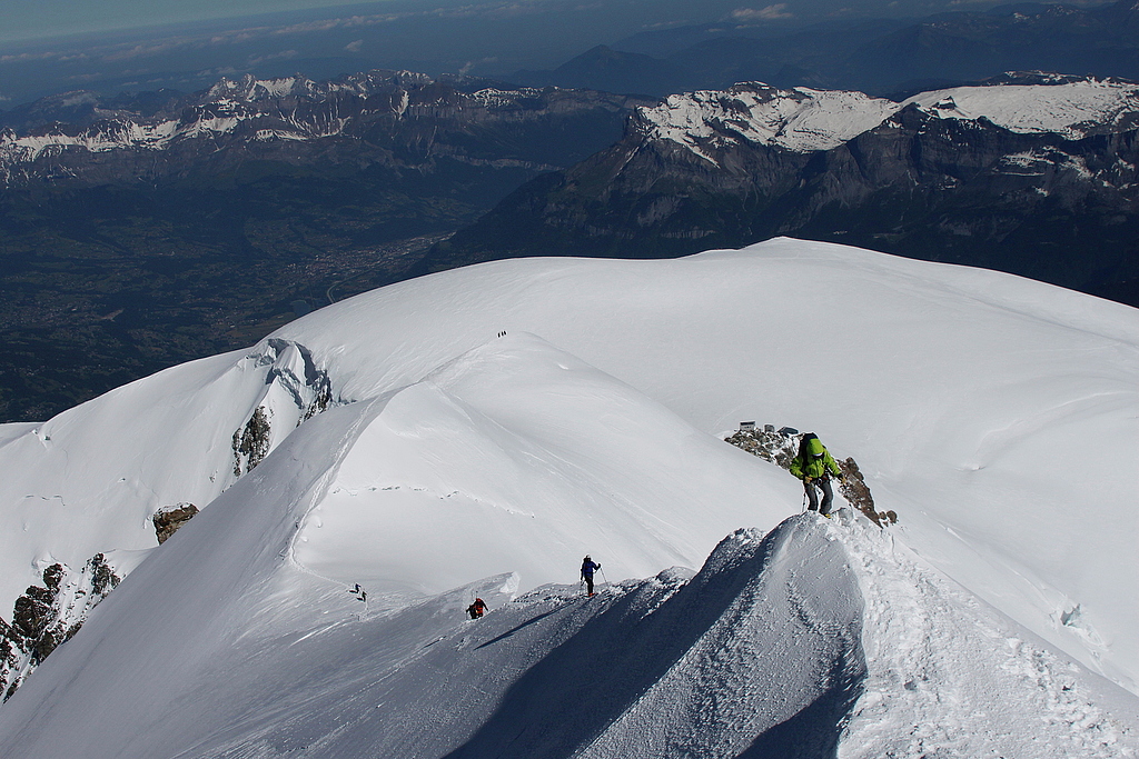
Ascending les Bosses ridge.
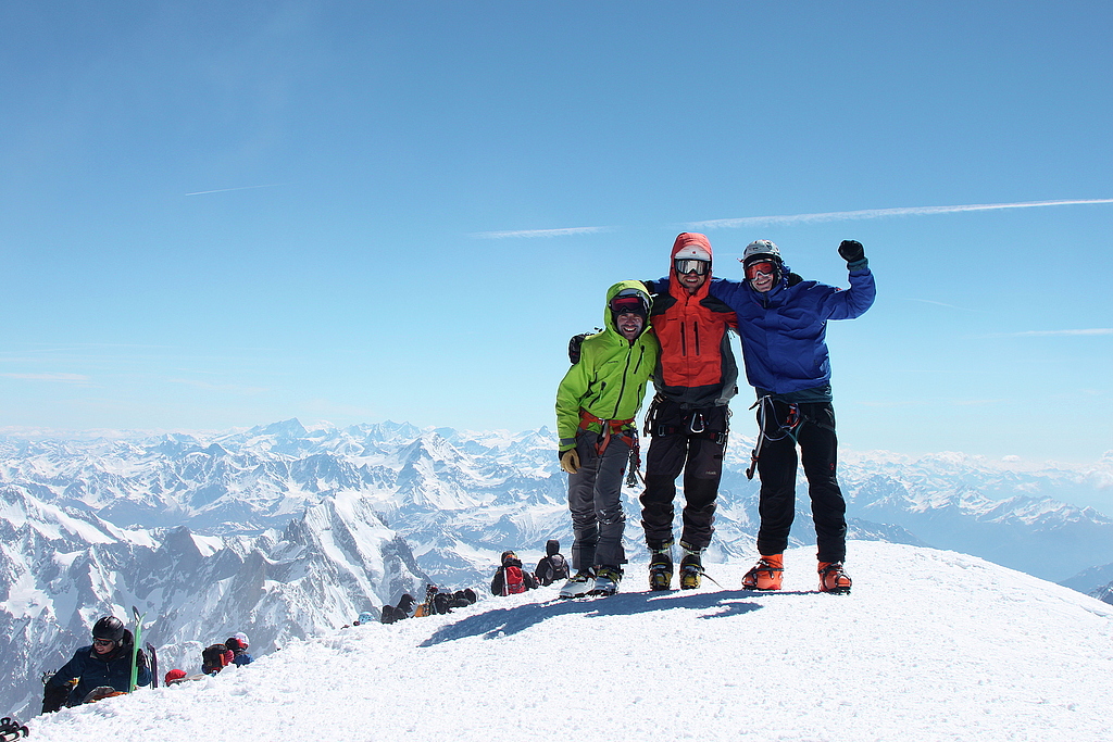
Our team on the summit of Mont Blanc.
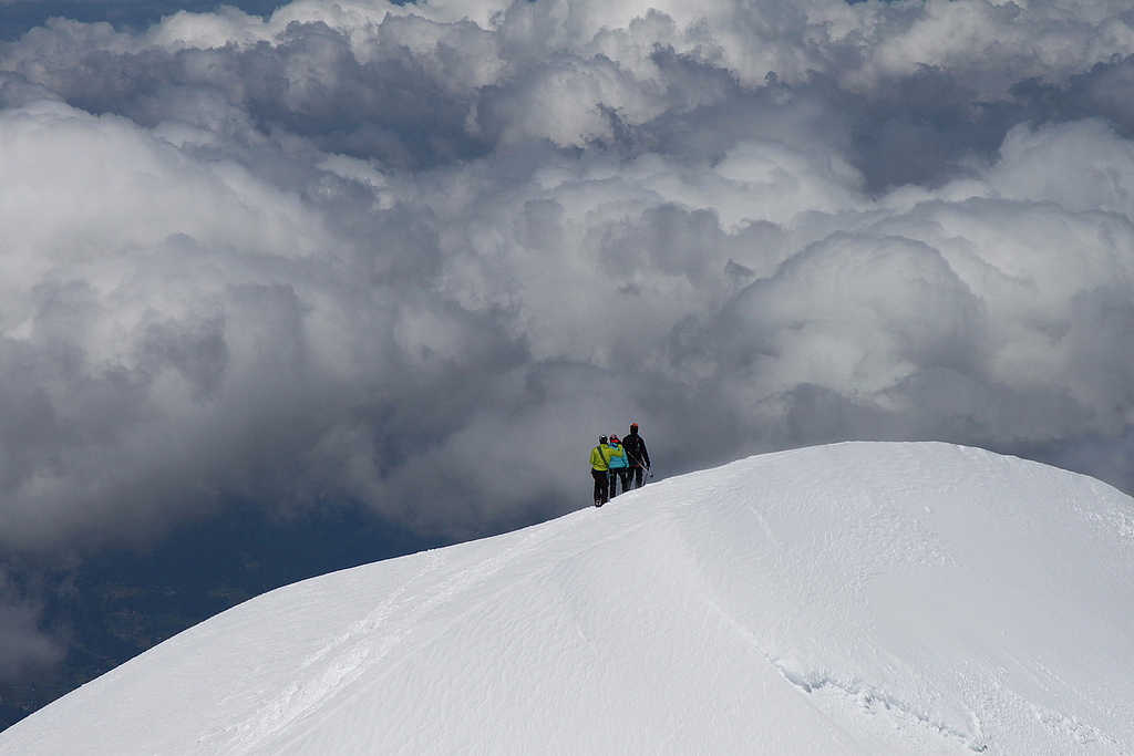
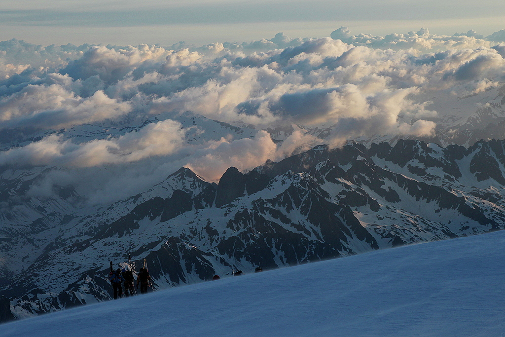
Descending to a sea of clouds.
Mont Maudit, 4465m.
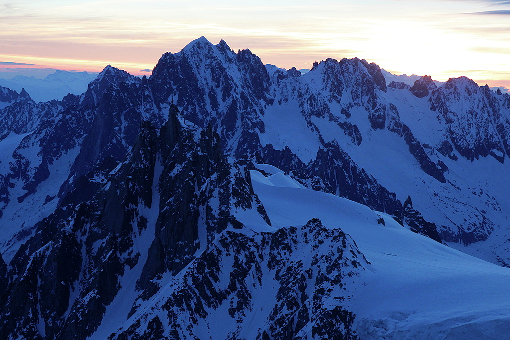
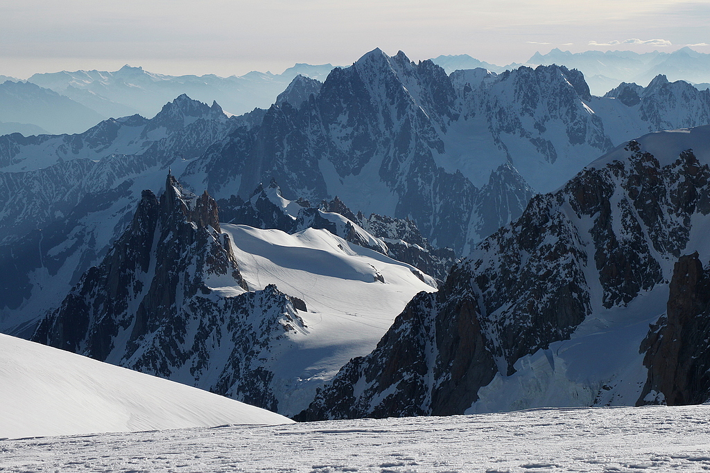
The north face of Mont Blanc.
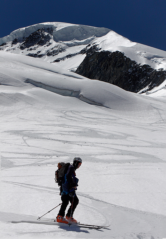
Skiing descent, below Col du Dome.
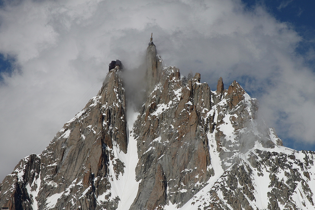
Aiguille du Midi, 3842m.