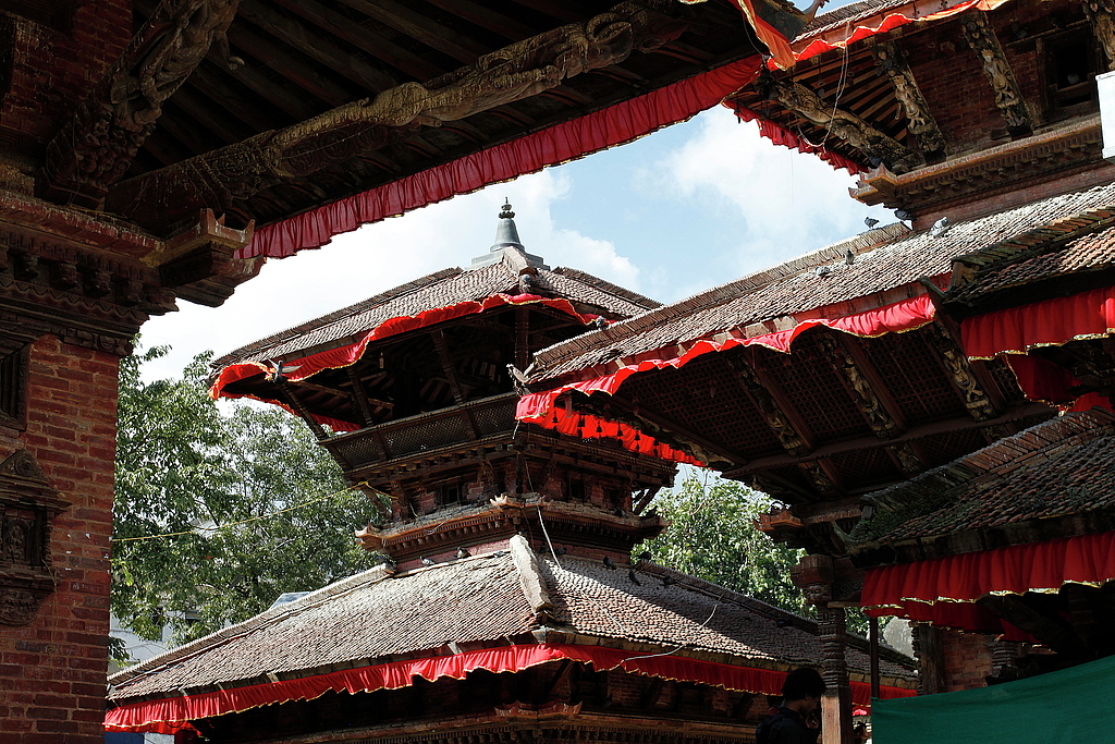
Kathmandu, Durbar square.
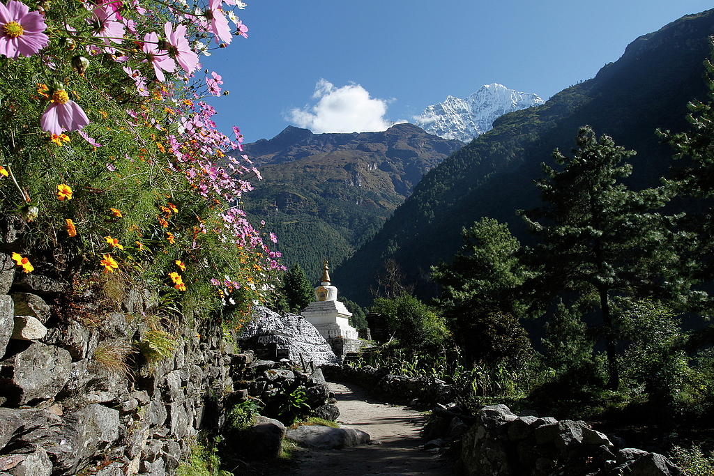
Toktok (2760m), Dudh Kosi valley.
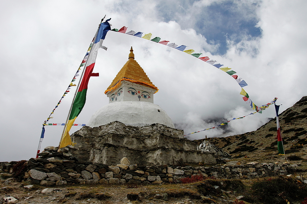
Sherpa, Sagarmatha National Park.
Hiking from Dingboche to Chhukhung.
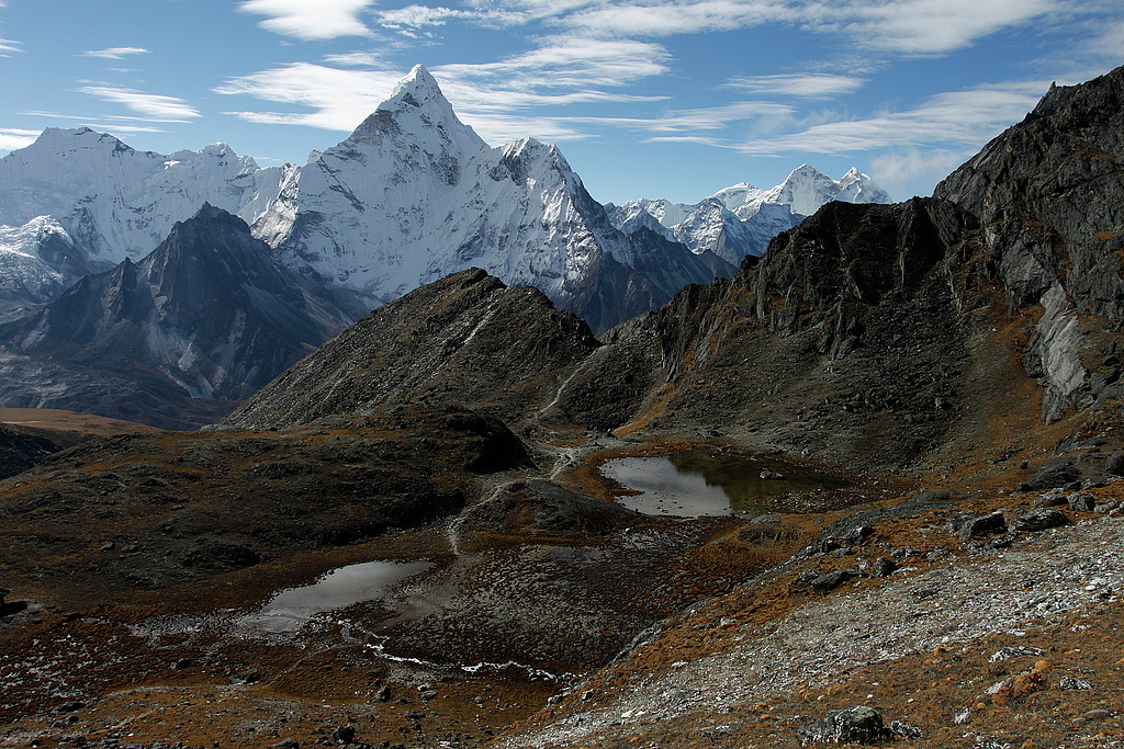
Ama Dablam (6812m) as seen from Kongma La (5535m) vicinity.
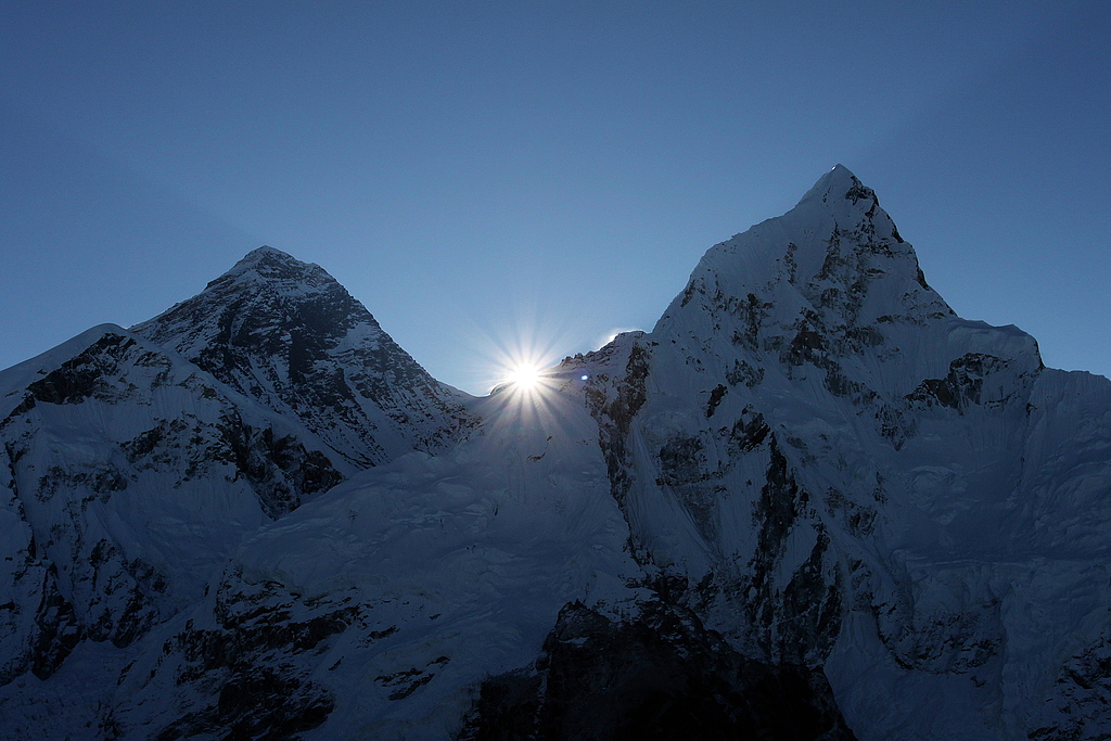
Mount Everest (8848m) and Nuptse (7861m).
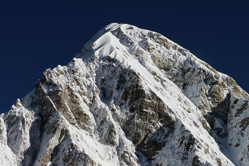
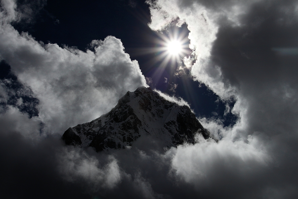
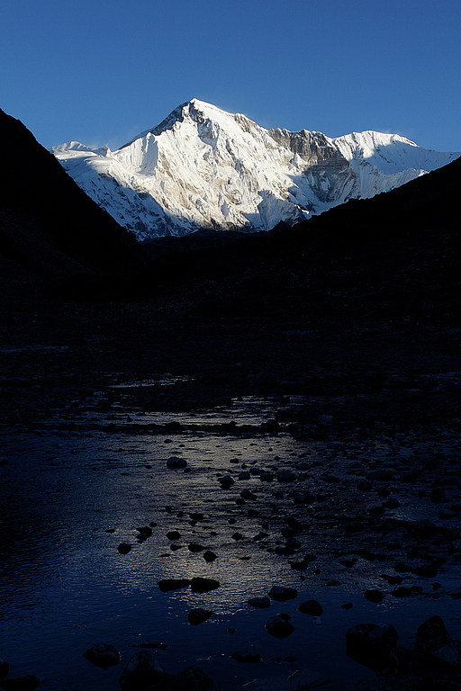
Pumori (7161m), Sagarmatha National Park.
Cholatse (6440m), Sagarmatha National Park.
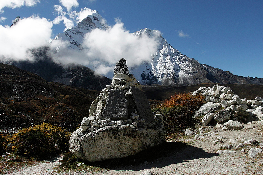
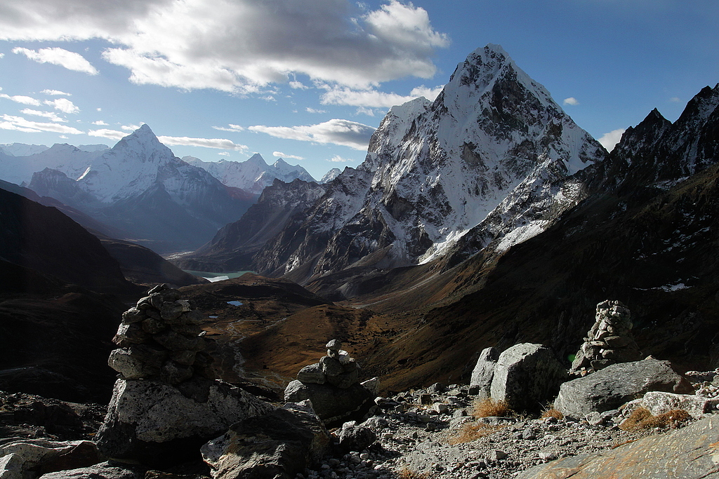
Ama Dablam (6812m), Taboche (6542m) and Cholatse (6440m).
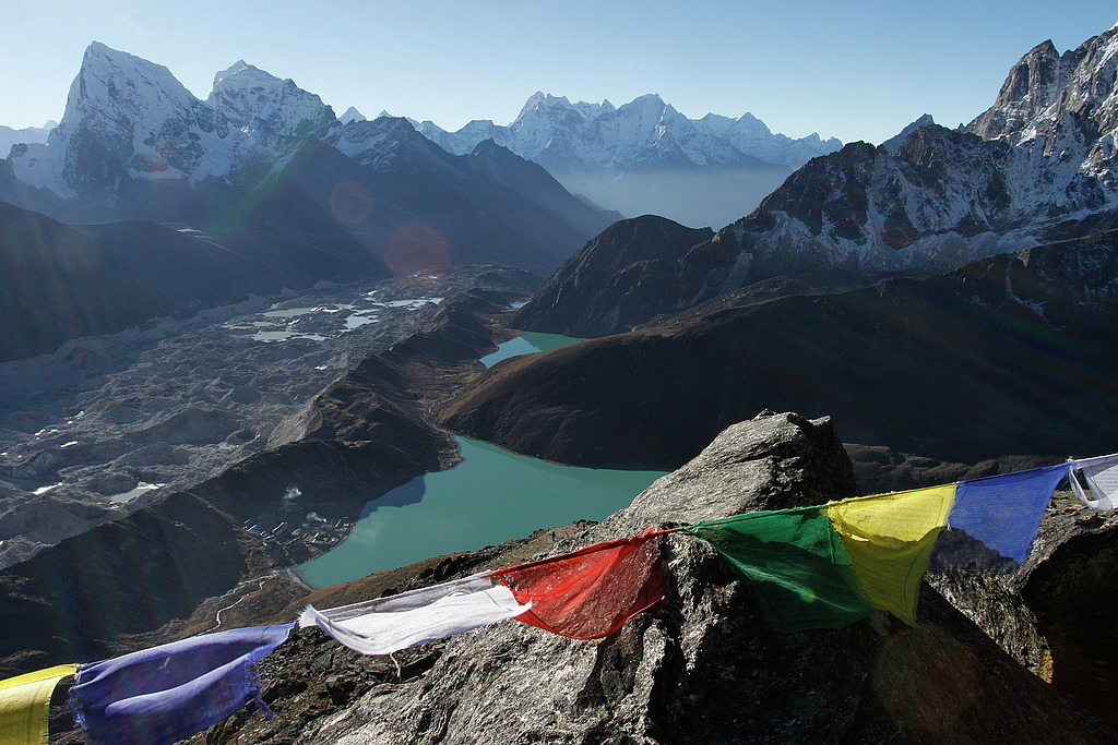
Cholatse, Taboche, Gokyo, Gokyo Tso and Taujung Tso as seen from Gokyo Ri (5360m).
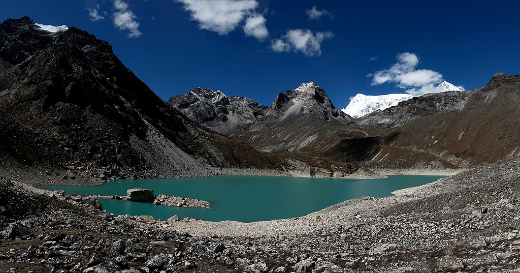
Ngozumba Tsho (4990m), Sagarmatha National Park.
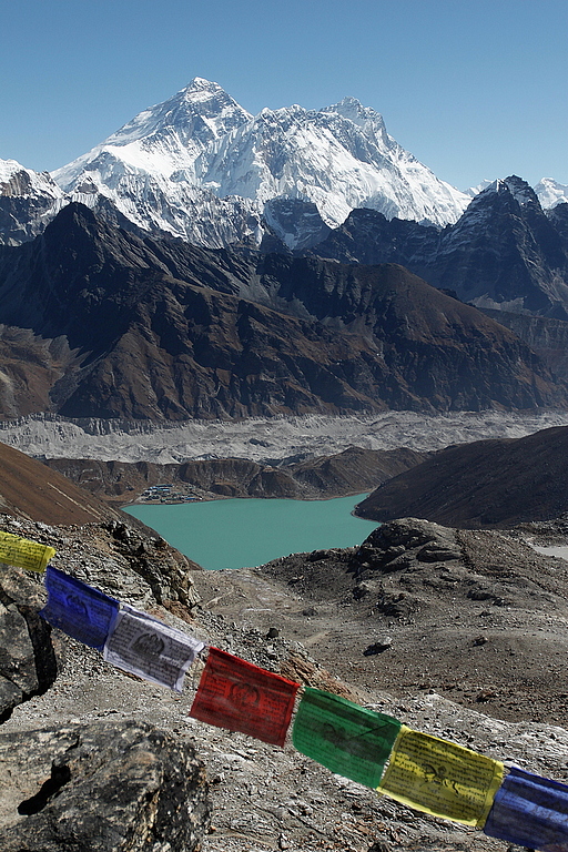
Mount Everest and Gokyo as seen from Renjo La (5360m).
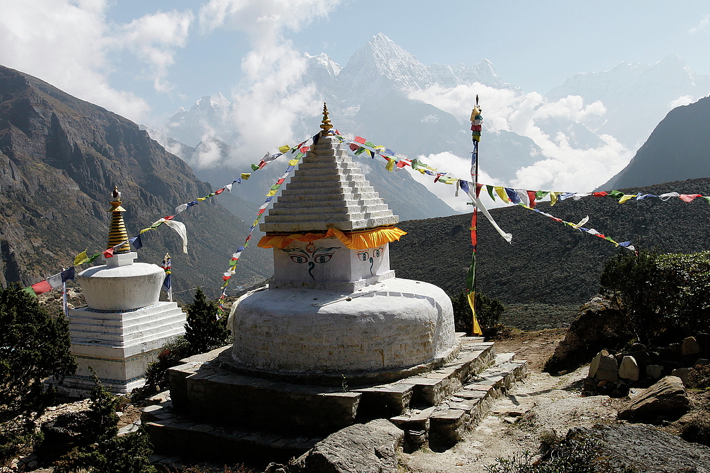
Thame Gompa and Thamserku (6623m).
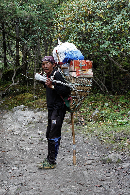
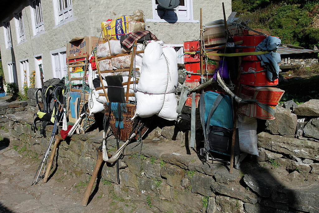
Sherpa porters heavy load.
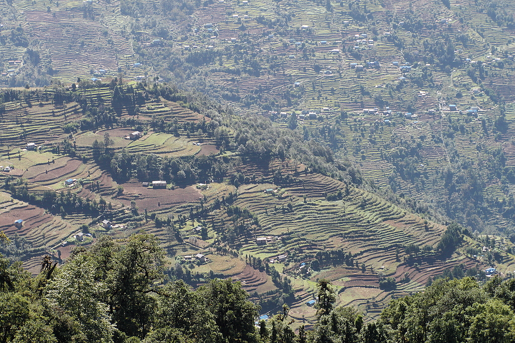
Nepalese countryside - Paiya, Bupsa and Kharikhola from Chutok La (2945m).